Dubai, United Arab Emirates Earth In Water.

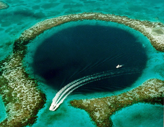
Great Blue Hole.
It lies near the center of Lighthouse Reef, a small atoll 70 km from the mainland and Belize City. The hole is circular in shape

Bar Reservoir.
New Bullards Bar Reservoir in Yuba County, California

Gwadar, Pakistan.
This is a satellite image of a newly created island after an earthquake, Gwadar, Pakistan

Face Art, Belfast
This is a satellite image of Face Art, Belfast, Northern Ireland, United Kingdom

Mount Vesuvius
This is a satellite image of Mount Vesuvius, best known for its eruption in AD 79 burying the city of Pompeii, in Naples, Italy.

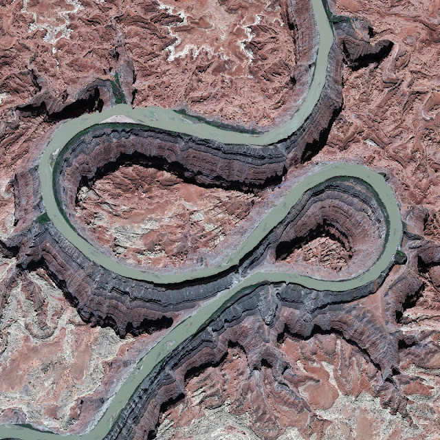
The Colorado River
This is a satellite image of The Colorado River, Utah united stated of america

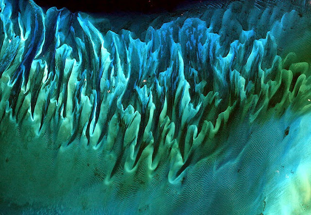
Seaweed In The Bahamas
Though the above image may resemble a new age painting straight out of an art gallery in Venice Beach, California, it is in fact a satellite image of the sands and seaweed in the Bahamas.

The Shipwreck
While the shipwreck itself wasn't discovered on Google Earth, the image of it was, and now it's one of the largest shipwrecks visible on the platform, as well as one of the most searched-for Google maps

Sri Lankha Ramasethu
A brigde is built to connect India and sri Lankha called ramasethu. which was buit more than 125,000 millions years ago with Floating stones

No comments:
Post a Comment